
My Canada: An Illustrated Atlas


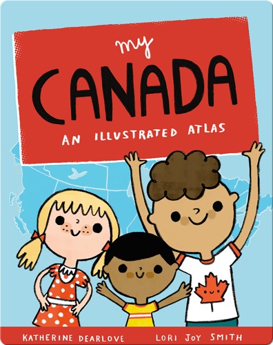
My Canada: An Illustrated Atlas
This picture book atlas of Canada is a whimsical, informative introduction to our country from sea to sea to sea. Each province and territory is featured on its own spread, with icons and labels indicating the capital city, other major cities, key lakes and rivers, iconic landmarks, animals, and plants, significant national and provincial parks, and more. Each map is lively and colorful with plenty of details to discover. Simple labels make key places and landmarks easily searchable for further research. Inspired by the illustrator’s map of PEI, a longtime gift shop bestseller, My Canada includes basic information about Canada and a full map of the country.
About This Book
By: Katherine Dearlove
Illustrated by: Lori Joy Smith
Published by: Owlkids
5-7Age Range
-AR
31Pages
Cities & CulturesSubject
-Lexile
15-30 minsReading Time
-Guided Reading
-Fountas & Pinnell
-DRA